Thermal Mapping Technology Enhances Urban Living in Karnataka
NewsThermal Mapping Technology Enhances Urban Living in Karnataka
SatLeo Labs Innovates with Satellite and Drone Data for Local Temperature Insights
India, December 7, 2025, Sunday, 2025
India, October 10, 2023, Tuesday, 2023
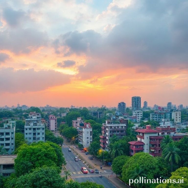
SatLeo Labs is at the forefront of a technological revolution in Karnataka. The company is developing advanced thermal mapping technology that utilizes satellite and drone data. This innovation promises to deliver hyper-local temperature insights, which can significantly impact urban planning and public safety.
Understanding Thermal Mapping
Thermal mapping involves capturing temperature data across various locations. By employing satellites and drones, SatLeo Labs can gather precise thermal information. This data is crucial for understanding temperature variations within urban environments. The technology allows for real-time monitoring of heat levels in specific areas, providing valuable insights for city planners and environmentalists.
Optimizing Urban Planning
Urban planning is a complex task that requires accurate data. With thermal mapping, planners can make informed decisions about infrastructure development. For instance, they can identify heat islands—areas that experience significantly higher temperatures than their surroundings. By recognizing these zones, planners can implement strategies to mitigate heat, such as increasing green spaces or improving building materials.
Moreover, this technology can help in zoning decisions. Areas that are prone to extreme heat may require different regulations compared to cooler regions. By integrating thermal data into planning processes, cities can create more sustainable and livable environments.
Managing Outdoor Labor Conditions
Outdoor laborers often face challenging conditions, especially in hot climates. Thermal mapping can play a crucial role in ensuring their safety. By providing real-time temperature data, employers can make informed decisions about work schedules. For example, they can avoid scheduling outdoor work during peak heat hours.
Additionally, this technology can help in monitoring the effectiveness of cooling measures. If a construction site implements shade structures or misting systems, thermal mapping can assess their impact on worker comfort. This proactive approach can lead to healthier work environments and increased productivity.
Detecting Environmental Hazards
Beyond urban planning and labor management, thermal mapping has applications in environmental monitoring. One significant concern is the detection of methane leaks. Methane is a potent greenhouse gas that contributes to climate change. Identifying leaks quickly is essential for minimizing environmental impact.
SatLeo Labs' technology can help in this regard. By analyzing thermal data, the company can pinpoint areas where methane emissions are likely occurring. This capability allows for timely interventions, reducing the overall carbon footprint of urban areas.
Making Cities Cooler and Safer
The overarching goal of SatLeo Labs' thermal mapping technology is to create cooler and safer cities. Urban heat is a growing concern, especially as climate change intensifies. High temperatures can lead to health issues, particularly among vulnerable populations.
By utilizing thermal mapping, cities can implement targeted cooling strategies. These may include increasing vegetation, enhancing building designs, and improving public transportation systems. Each of these measures can contribute to lowering urban temperatures and improving overall quality of life.
Community Engagement and Awareness
For thermal mapping to be effective, community engagement is vital. SatLeo Labs recognizes the importance of involving local residents in the process. By sharing thermal data with communities, residents can better understand their environment. This transparency fosters a sense of ownership and encourages collective action.
Workshops and informational sessions can educate the public about the implications of heat in their neighborhoods. Residents can learn how to advocate for changes that promote cooler environments. This grassroots approach can lead to more sustainable urban development.
Future Prospects
The future of thermal mapping technology looks promising. As SatLeo Labs continues to refine its methods, the potential applications will expand. Collaborations with local governments and organizations can enhance the effectiveness of this technology.
Moreover, advancements in drone technology and satellite imaging will improve data accuracy. As these tools become more sophisticated, the insights gained from thermal mapping will become even more valuable.
In conclusion, SatLeo Labs is pioneering a transformative approach to urban living in Karnataka. By harnessing the power of thermal mapping, the company is addressing critical issues related to urban heat, labor safety, and environmental hazards. The implications of this technology extend beyond immediate benefits, paving the way for more sustainable and resilient cities.
Source:
